
Articles for Ordnance Survey
Explore 1 business insights in all locations
Insider
Share Your Business Story
Reach our community by sharing your business insights, expert guides, or success stories on the world's most trusted local platform.
Write Your Article Now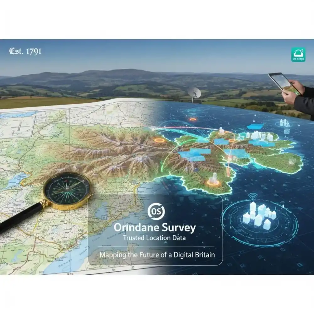
Engineering
Apr 06, 2026
Ordnance Survey: Mapping the Future of a Digital Britain
Ordnance Survey (OS) is not merely a map-maker; it is the custodian of Great Britain’s geographic identity. As the national mapping agency of the United Kingdom, OS maintains the most detailed and frequently updated database of a nation’s landscape anywhere in the world. From its military origins in 1791 to its current status as a state-of-the-art geospatial data powerhouse, Ordnance Survey Limited provides the "trusted location data" that underpins the very fabric of British society.
Headquartered in Southampton, Hampshire, OS is a public corporation that manages the National Geographic Database (NGD)—a colossal digital repository containing over 600 million individual features. Whether it is supporting emergency services in life-critical situations, enabling the rollout of 5G infrastructure, or helping millions of hikers navigate the Scottish Highlands via the OS Maps app, the influence of Ordnance Survey is ubiquitous.
230 Years of Innovation: A Historical Perspective
The story of Ordnance Survey began on 21 June 1791, fueled by the threat of Napoleonic invasion. Under the leadership of Major-General William Roy, the agency was tasked with the systematic mapping of the southern coast of England to assist military defense. The name "Ordnance" itself reflects its origins within the Board of Ordnance, the government body responsible for the nation's weaponry and engineering.
Over two centuries, OS transitioned from hand-drawn copperplate engravings to satellite-derived vector data. Today, under the leadership of CEO Nick Bolton, the organization employs over 1,200 professionals, including cartographers, data scientists, and remote sensing experts, ensuring that Great Britain remains one of the most precisely mapped nations on Earth.
The Power of the OS National Geographic Database (NGD)
At the heart of the business lies the OS National Geographic Database. This is the single source of truth for the British landscape. The NGD is updated up to 20,000 times every single day using a combination of:
Aerial Imagery: A dedicated flying unit captures high-resolution photography.
Ground Surveys: Over 230 surveyors use highly accurate GPS (GNSS) equipment to verify changes on the ground.
Satellite Data: Modern remote sensing techniques provide rapid updates on land usage.
This database doesn't just show roads and rivers; it identifies every building, fence, path, and even individual addresses (via AddressBase) with centimeter-level precision. This level of detail is essential for the Public Sector Geospatial Agreement (PSGA), which grants government agencies access to OS data to improve public services.
Core Products and Services
1. OS Maps (Consumer Division)
The most recognizable brand for the public, OS Maps, is available as both traditional paper maps and an award-winning digital application. It encourages the "GetOutside" initiative, promoting physical and mental well-being by making the British countryside accessible.
2. OS Data Hub (APIs for Developers)
For the digital economy, the OS Data Hub provides premium APIs. Developers use these to integrate high-accuracy mapping into apps for logistics, insurance, and real estate.
3. Professional Consultancy & International Services
Ordnance Survey isn't limited to British soil. Through its international advisory arm, OS helps other nations develop their own geospatial capabilities, supporting urban planning in Dubai or mapping informal settlements in Africa using AI.
The Economic Impact of Trusted Location Data
Independent reports estimate that Ordnance Survey data contributes over £100 billion in value to the UK economy annually. Its "Trusted Location Data" is the "golden thread" that connects disparate datasets.
Infrastructure: Water, gas, and electric companies use OS data to manage millions of kilometers of underground pipes and cables.
Emergency Services: Police, Fire, and Ambulance services rely on the OS Emergency Services Gazetteer to find incidents faster, even in areas without traditional addresses.
Environmental Monitoring: OS data helps track coastal erosion, manage flood risks, and plan for Net Zero carbon targets.
Business Directory Information
Category
Details
Business Name
Ordnance Survey Limited
Headquarters
Explorer House, Adanac Drive, Southampton, SO16 0AS, UK
Founded
1791
CEO
Nick Bolton
Phone
+44 (0)3456 05 05 05
Email
[email protected]
Website
www.ordnancesurvey.co.uk
Registration No.
09121572
Certifications
ISO 9001, ISO 14001, Cyber Essentials Plus
Frequently Asked Questions
What does Ordnance Survey actually do?
OS is the national mapping agency for Great Britain. It collects and maintains the most detailed geographic data of the country, which is used by government, businesses, and the public for navigation and planning.
Is Ordnance Survey a government department?
It is a public corporation (Government Company) owned by the Department for Business and Trade. While it operates commercially, it fulfills a vital public task.
How often are OS Maps updated?
The master database (NGD) is updated daily. Consumer products like the OS Maps app receive regular digital updates, while paper maps are revised on a cycle based on the frequency of change in that specific area.
What is the OS Data Hub?
It is a platform that provides developers and businesses with access to OS's authoritative data through various APIs, such as the OS NGD API – Features and OS Maps API.
Does Ordnance Survey map Northern Ireland?
No. Ordnance Survey Great Britain (OSGB) covers England, Scotland, and Wales. Northern Ireland is mapped by Ordnance Survey Northern Ireland (OSNI), which is part of Land & Property Services.
What is the PSGA?
The Public Sector Geospatial Agreement is a contract between the UK government and OS that provides public sector organizations with free access to premium geospatial data.
How can I get a job at Ordnance Survey?
OS regularly hires data scientists, software engineers, surveyors, and GIS specialists. Job openings are listed on their official careers portal.
What payment methods does OS accept?
They accept all major Credit/Debit Cards, PayPal, Direct Debit for subscriptions, and corporate invoicing for professional clients.
Can I visit the Ordnance Survey headquarters?
Explorer House in Southampton has a Visitor Centre, but visits are generally by appointment or for specific events.
What is "GetOutside"?
GetOutside is a community initiative by OS to inspire people to live more active lives by exploring the outdoors using OS maps and resources.
Southampton
39 Views
- Prev
- 1
- Next
Share This Page
My Page
Scan QR to open
Barcode