Location intelligence has become one of the most valuable assets for modern organizations. From smart cities and transportation planning to property technology, telecommunications, environmental monitoring, and logistics, accurate geospatial information enables organizations to make faster and more informed decisions. Ordnance Survey (OS), Great Britain's national mapping agency, continues to lead the way in delivering trusted location data that powers thousands of digital products and public services across the United Kingdom.
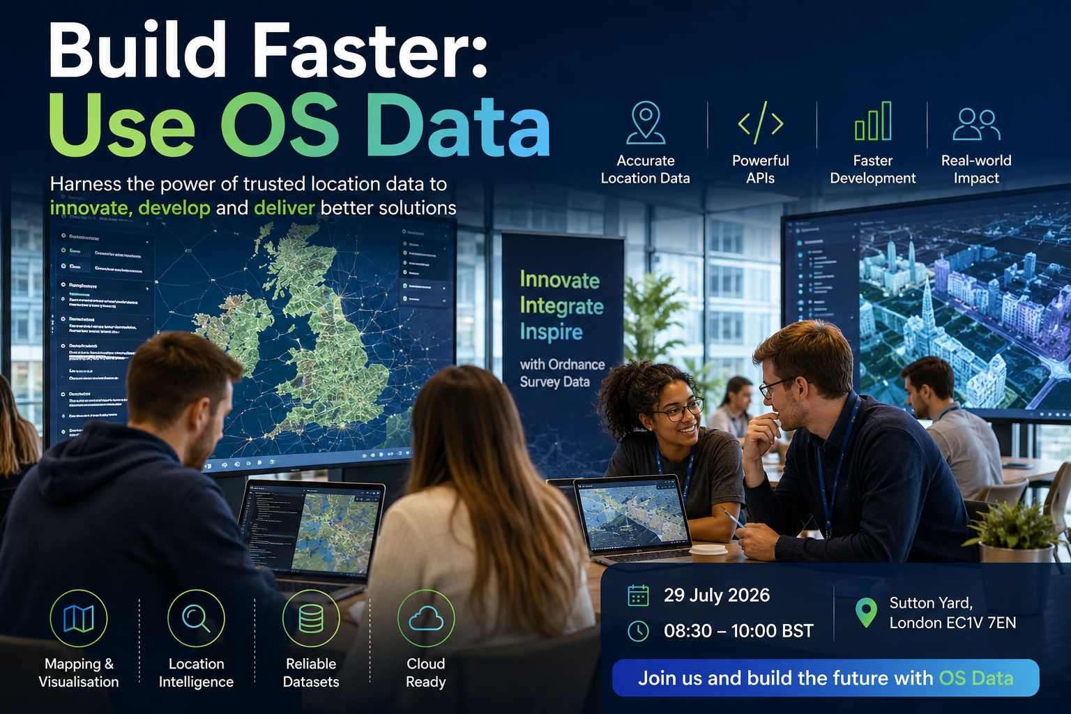
The Build Faster: Use OS Data workshop is designed for innovators, software developers, GIS professionals, entrepreneurs, startups, and organizations looking to harness the power of authoritative location data. Hosted through Geovation, the innovation initiative backed by Ordnance Survey, this workshop demonstrates practical techniques for integrating OS datasets into applications, products, and business solutions.
Participants will gain hands-on experience using modern mapping technologies, APIs, and geospatial datasets while learning how location intelligence can reduce development time, improve decision-making, and unlock new commercial opportunities.
Why Attend?
Modern businesses increasingly rely on accurate mapping and location intelligence. Whether developing logistics platforms, property applications, infrastructure management systems, environmental monitoring tools, or smart city services, reliable location data forms the backbone of innovation.
This workshop helps attendees understand how Ordnance Survey datasets can be integrated into products efficiently while following best practices for modern software development.
Experts from Ordnance Survey and Geovation will demonstrate practical workflows that enable organizations to shorten development cycles, improve data quality, and build scalable solutions.
What You Will Learn
Throughout the workshop, attendees will explore:
- Introduction to Ordnance Survey datasets
- Understanding the National Geographic Database
- Working with OS APIs
- Location intelligence fundamentals
- Data visualization techniques
- Address and property datasets
- Mapping best practices
- Cloud-based GIS integration
- Digital transformation through geospatial technology
- Product development using authoritative mapping
These sessions provide practical knowledge that participants can immediately apply within their organizations.
Hands-on Technical Demonstrations
One of the strongest aspects of this workshop is its practical nature.
Rather than focusing only on presentations, attendees participate in demonstrations covering:
- API integration
- Interactive mapping
- Geospatial analytics
- Data visualization
- Location search
- Route planning
- Property analysis
- Infrastructure mapping
- Geographic data management
- Digital product prototyping
Participants leave with a stronger understanding of how modern location services are implemented.
Industry Applications
Ordnance Survey data supports innovation across numerous industries.
Smart Cities
City planners use mapping data to improve transport, utilities, housing, and infrastructure planning.
Transportation
Transport organizations analyze road networks and optimize routing using accurate mapping information.
Utilities
Energy and water companies improve asset management through reliable geographic information.
Telecommunications
Network planners identify ideal locations for infrastructure deployment using authoritative mapping.
Property Technology
Real estate businesses use accurate address and land information to support property management and market analysis.
Environmental Management
Environmental organizations monitor land use, biodiversity, and climate resilience through geospatial analysis.
Emergency Services
Emergency response organizations depend on precise location information to improve operational effectiveness.
Networking Opportunities
The workshop provides an excellent environment for networking.
Participants can connect with:
- Technology startups
- GIS consultants
- Product managers
- Software engineers
- Innovation leaders
- Government representatives
- Academic researchers
- Investors
- Digital transformation specialists
- Mapping experts
These conversations frequently lead to collaborations and future innovation projects.
Benefits for Startups
Early-stage companies often struggle with obtaining reliable geographic information.
The workshop explains:
- Available datasets
- Development tools
- API capabilities
- Licensing guidance
- Product validation
- Innovation support
- Technical mentoring
- Best implementation practices
Geovation has helped numerous startups transform innovative ideas into successful businesses using location intelligence.
Benefits for Developers
Software developers attending the workshop will discover efficient methods for integrating geospatial functionality into modern applications.
Topics include:
- REST APIs
- Cloud deployment
- Data integration
- Performance optimization
- Interactive web mapping
- Mobile mapping
- Geographic search
- Address lookup
- Spatial queries
- Data processing
These practical skills help development teams reduce implementation time while improving application quality.
Innovation Through Location Data
Location information connects people, places, assets, and infrastructure.
Organizations increasingly depend upon geospatial intelligence to:
- Improve customer experiences
- Reduce operational costs
- Optimize logistics
- Support planning
- Enhance public services
- Enable predictive analytics
- Improve decision-making
- Accelerate innovation
Ordnance Survey continues investing in new technologies and modern datasets that support these objectives across the UK.
Why Ordnance Survey?
For over two centuries, Ordnance Survey has provided trusted geographic information that supports government, businesses, and communities.
Today, its digital transformation includes:
- High-quality national mapping
- Modern APIs
- National Geographic Database
- Cloud-ready datasets
- Digital services
- Continuous product innovation
- Cross-sector collaboration
- Support for startups and developers
These capabilities enable organizations to build innovative products with confidence.
Event Takeaways
By the end of the workshop attendees will:
- Understand OS datasets
- Learn API integration techniques
- Explore real business use cases
- Network with industry experts
- Discover startup opportunities
- Improve GIS knowledge
- Gain practical development experience
- Learn mapping best practices
- Understand location intelligence strategy
- Accelerate future digital projects
Final Thoughts
Build Faster: Use OS Data is an outstanding opportunity for developers, startups, businesses, researchers, and innovation professionals who want to build better digital products using trusted geospatial information. The workshop combines technical learning, practical demonstrations, networking, and expert guidance, helping participants understand how authoritative mapping data can improve software development, business intelligence, and digital transformation initiatives.
Whether you are creating smart city applications, logistics platforms, property technology solutions, environmental services, or next-generation digital products, this event provides valuable knowledge that can accelerate development and unlock new innovation opportunities. Hosted by Geovation and supported by Ordnance Survey, the workshop reflects the organization's commitment to fostering collaboration and advancing the use of location data across industries.
Key Event Highlights
- Learn how to accelerate product development using Ordnance Survey data.
- Hands-on demonstrations of OS APIs and geospatial datasets.
- Expert guidance from Geovation and Ordnance Survey specialists.
- Networking with geospatial startups and technology innovators.
- Practical advice on building location-enabled digital products.
Venue & Location Info
Timings
Entry Fees
Event Type
Estimated Turnout & Audience
Community Reviews
James Turner
Sarah Collins
Oliver Bennett
Emma Hughes
How was your experience?
Share your thoughts with the community. Your reviews help others discover the best local events.
Write a Review