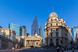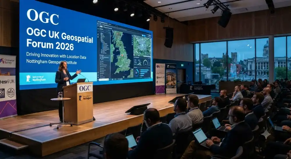
The Open Geospatial Consortium (OGC) proudly brings its flagship regional gathering to the vibrant city of Nottingham, uniting leading geospatial experts, software engineers, data architects, and public sector innovators. As the digital landscape increasingly relies on location-enabled data, achieving seamless spatial interoperability has never been more critical for modern enterprises and governments alike. This premier forum serves as a vital platform for stakeholders to discuss cutting-edge developments in open standards, share implementation best practices, and collaborate on solving complex location-based challenges across diverse industries. Attendees will experience an immersive program filled with expert keynotes, interactive panels, and technical deep-dives designed to accelerate digital transformation through standardized geospatial frameworks.
Advancing Standards with Modern OGC APIs
Modernizing web mapping and spatial data infrastructure requires a fundamental shift toward lightweight, developer-friendly interfaces. Throughout the conference, specialized technical sessions will thoroughly explore the latest advancements in OGC API standards, including features, processes, tiles, and coverages. Participants will gain actionable insights into how these modern web-native interfaces simplify data access, improve system scalability, and foster smoother integration with cloud-native architectures. Industry leaders will demonstrate successful implementations of OGC standards within large-scale spatial databases, IoT deployments, and digital twin environments. These sessions provide technical practitioners with the knowledge required to build robust, interoperable applications that meet rising demands for real-time geographic intelligence and high-performance spatial data processing.
Cross-Sector Collaboration and Government Integration
Geospatial data plays a foundational role in driving efficient public administration, environmental monitoring, emergency response, and urban planning. This year’s forum places a strong emphasis on strengthening collaboration between government mapping agencies, defense organizations, academic researchers, and commercial technology providers. Attendees will examine real-world case studies highlighting how standardized geospatial frameworks enhance cross-agency communication during natural disasters, infrastructure development projects, and national census operations. By bringing together diverse perspectives, the event fosters an environment of mutual trust and cooperative innovation. Participants can engage in constructive dialogues regarding policy alignment, open data initiatives, and regulatory frameworks that support sustainable development goals and smart city blueprints across the United Kingdom and international markets.
Empowering Developers and Data Scientists
The rapid convergence of geographic information systems (GIS) with artificial intelligence, machine learning, and big data analytics has opened up unprecedented opportunities for innovation. Dedicated breakout tracks at the conference will focus heavily on empowering software developers, data scientists, and geospatial analysts with the practical tools and standards needed to leverage spatial machine learning models effectively. Experts will discuss methodologies for handling massive raster, vector, and point-cloud datasets using standardized web services and cloud-native workflows. Attendees will participate in hands-on technical demonstrations showcasing how to streamline spatial data pipelines, reduce latency in spatial queries, and build intelligent location-aware applications. These practical sessions ensure that technical professionals leave equipped with cutting-edge skills immediately applicable to their organizational projects.
Navigating Venue and Registration Details
Set in the historic yet forward-looking East Midlands hub of Nottingham, the event benefits from exceptional transport accessibility via major road networks, national rail services, and East Midlands Airport. The world-class Nottingham Conference Centre offers state-of-the-art auditorium facilities, high-speed connectivity, and comfortable networking spaces tailored for professional collaboration. Comprehensive registration packages, abstract submission guidelines, and accommodation recommendations are fully detailed on the official OGC website. Early registration is highly encouraged due to limited seating capacity and high demand from the international geospatial community. Secure your place at this landmark event to connect with global leaders, influence future standards, and help shape the next generation of location technology.
Key Event Highlights
-
Comprehensive exploration of modern OGC API standards and cloud-native GIS architectures.
-
Collaborative sessions bridging government mapping agencies, defense, and commercial tech providers.
-
Technical deep-dives into handling massive raster, vector, and point-cloud datasets.
-
Expert-led discussions on integrating geospatial data with AI, machine learning, and big data analytics.
-
Exceptional networking opportunities with global geospatial leaders at a world-class Nottingham venue.
Venue & Location Info
Timings
Entry Fees
Event Type
Estimated Turnout & Audience
Community Reviews
How was your experience?
Share your thoughts with the community. Your reviews help others discover the best local events.