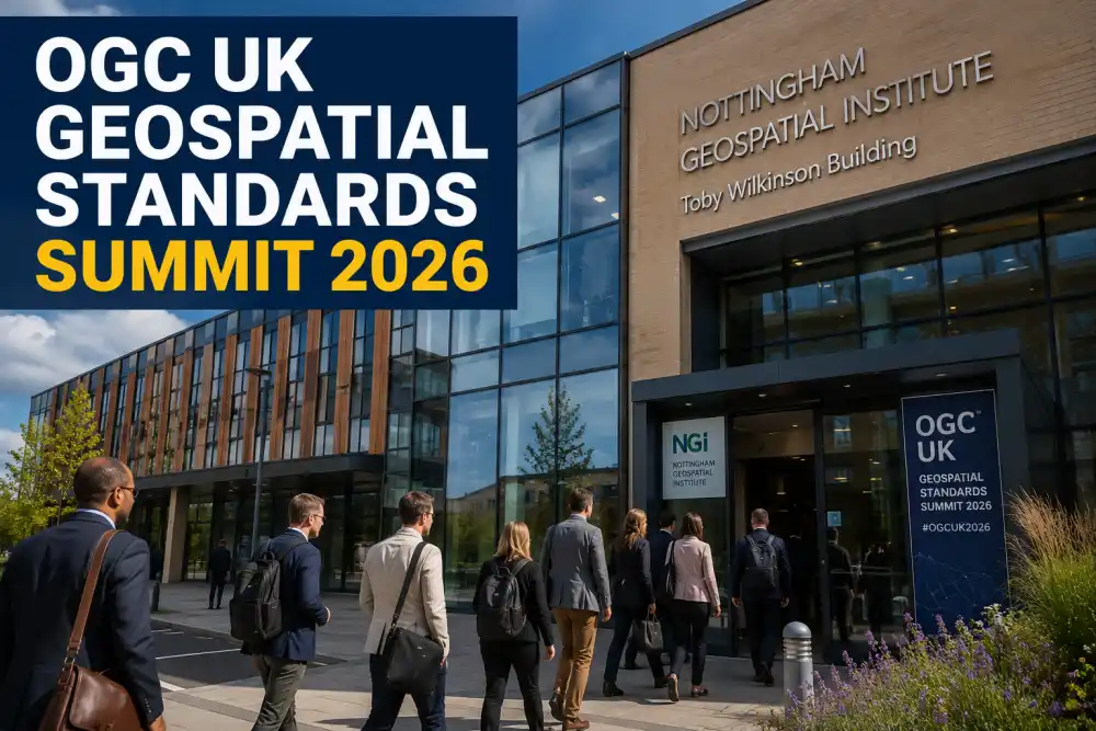
The Open Geospatial Consortium is proud to convene the UK Geospatial Standards Summit in Nottingham, bringing together global location intelligence innovators, geospatial data architects, and software developers. Location data has become the fundamental bedrock of modern digital infrastructure, powering everything from smart city transportation grids and emergency response logistics to climate change modeling and autonomous navigation systems. As spatial technologies advance rapidly across diverse sectors, establishing robust open standards and seamlessly interoperable protocols is essential to prevent data silos and maximize collaborative problem-solving. This three-day event serves as a focal forum for examining how OGC standards enhance spatial data findability, accessibility, interoperability, and reusability across public and private sectors. Attendees will engage in forward-looking conversations, technical exchanges, and hands-on demonstrations designed to unlock the full potential of geographic information systems in a rapidly changing world.
Keynotes on Open Standards and Interoperability
Distinguished keynote speakers from government agencies, academic institutions, and leading technology enterprises will deliver visionary addresses on the future of open geospatial standards. Key topics include the integration of artificial intelligence with geographic information systems, modernizing sensor observation services, and implementing real-time 3D streaming standards for urban digital twin environments. Speakers will highlight real-world case studies demonstrating how standardized spatial data pipelines accelerate disaster relief operations, optimize agricultural yield management, and streamline national mapping workflows. These sessions will break down complex interoperability challenges, showcasing how the OGC API family of standards simplifies web data publishing and consumption for modern web developers. Participants will gain critical insights into emergent policy frameworks, open-source software integration, and open data governance strategies that enable cross-border spatial data sharing.
Interactive Workshops and Technical Code Sprints
Beyond high-level presentations, the summit features intensive, hands-on workshops and collaborative code sprints designed for software developers, data engineers, and geospatial analysts. Led by industry experts and OGC standards working group leaders, these interactive technical sessions allow participants to work directly with emerging geospatial standard APIs, cloud-native geospatial formats, and spatial data indexing techniques. Attendees will explore practical implementations of GeoJSON, Cloud Optimized GeoTIFFs, and 3D Tiles, building functional prototypes that solve real-world spatial challenges. Technical code sprints offer a collaborative environment where developers can contribute directly to open-source geospatial projects, test API compatibility, and provide valuable feedback to shape future specification drafts. Whether you are building web mapping tools, cloud pipelines, or mobile GIS applications, these practical sessions provide actionable skills and invaluable developer experience.
Networking Opportunities and Industry Collaboration
Networking lies at the central core of the OGC community experience, and this event provides dedicated avenues for building valuable professional connections. Interspersed throughout the schedule are structured networking breakfasts, evening receptions, and interactive exhibition floor sessions. Delegates can engage directly with industry leaders, solution providers, and academic researchers to discuss potential partnerships, commercial opportunities, and joint research initiatives. The exhibition floor showcases cutting-edge commercial applications, open-source platforms, and hardware innovations from global geospatial vendors. Whether seeking advice on standard compliance, exploring collaborative grants, or connecting with talented professionals in the spatial domain, attendees will find ample opportunity to expand their professional network within an inclusive, collaborative environment.
Registration and Participation Detail
Participation in the summit is open to OGC members, academic researchers, commercial innovators, government representatives, and spatial data enthusiasts worldwide. Early registration guarantees access to all keynote sessions, technical track workshops, networking receptions, and hands-on coding activities. Discounted registration tiers are available for academic researchers, non-profit delegates, and full-time students to ensure broad community representation. Delegates will also receive full access to post-event presentation slide decks, technical session recordings, and workshop documentation repository archives. Prepare to engage with the global spatial community, exchange breakthrough ideas, and help shape the future of location standards. Register early through the official website to secure your place at Nottingham's premier geospatial conference.
Key Event Highlights
-
Visionary keynotes on GeoAI, 3D digital twins, and cloud-native spatial data architectures.
-
Interactive OGC API workshops and developer code sprints on open geospatial formats.
-
Technology exhibition showcasing commercial and open-source spatial platforms.
-
Structured networking receptions with global location intelligence leaders and researchers.
-
Actionable frameworks for implementing FAIR (Findable, Accessible, Interoperable, Reusable) data standards.
Venue & Location Info
Timings
Entry Fees
Event Type
Estimated Turnout & Audience
Community Reviews
James Turner
Sarah Collins
Oliver Bennett
Emma Hughes
How was your experience?
Share your thoughts with the community. Your reviews help others discover the best local events.