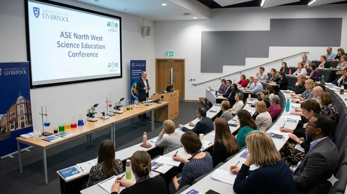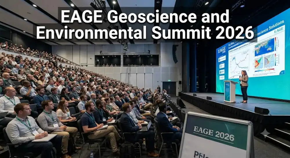
The EAGE Geoscience and Environmental Summit 2026, organized by the European Association of Geographers in collaboration with international geoscience networks, represents a landmark gathering for researchers, environmental geoscientists, urban planners, and policy strategists dedicated to advancing sustainable earth observation, spatial analysis, and resource stewardship. Held in the vibrant coastal city of Liverpool, United Kingdom, this multi-day scientific conference brings together an international community of academic scholars, industry experts, and environmental consultants. The primary mission of this summit is to explore the evolving dynamics of terrestrial ecosystems, coastal vulnerability, climate adaptation, and geotechnical engineering in the face of global environmental transformations. As urban populations expand and climate hazards intensity, Liverpool provides an ideal venue to discuss cutting-edge spatial technologies, remote sensing applications, and georeferenced environmental solutions. Attendees will gain direct exposure to empirical field research, innovative GIS mapping methodologies, and cross-disciplinary frameworks designed to address planetary health, sustainable land management, and environmental risk mitigation.
Key Thematic Tracks and Environmental Geosciences
The comprehensive scientific curriculum for the 2026 summit is carefully structured across four key thematic tracks that address the full spectrum of modern geographical research and applied geosciences. The initial track focuses heavily on climate change resilience, coastal geomorphology, and marine spatial planning—a domain particularly pertinent to the maritime history and geographic position of the Liverpool bay area. Renowned climatologists and physical geographers will present predictive models detailing sea-level rise, estuarine dynamics, and coastal erosion prevention strategies. The second thematic track delves into satellite remote sensing, geographic information systems (GIS), and big data analytics for environmental monitoring. Panelists will examine how machine learning algorithms and high-resolution spatial data are revolutionizing ecological habitat monitoring, agricultural land-use mapping, and disaster response logistics. Additional sessions will evaluate sub-surface geomechanics, groundwater management, and renewable energy site assessments, giving participants actionable scientific insights to support sustainable urban planning and infrastructure development.
Technical Workshops and Practical Masterclasses
Complementing the theoretical paper presentations and high-level plenary sessions, the summit features an extensive series of interactive technical workshops and skill-building masterclasses. Facilitated by leading academic researchers and industry practitioners, these hands-on sessions provide practical training in advanced spatial analytics, drone-based aerial mapping, open-source GIS software integration, and environmental impact modeling. Participants will learn how to process complex spatial datasets, execute precision terrain mapping, and apply predictive environmental risk assessments to real-world scenarios. Furthermore, dedicated breakout tracks tailored for early-career researchers and doctoral candidates will cover academic publishing strategies, competitive grant writing for European research projects, and ethical considerations in spatial data management. These small-group masterclasses encourage active participant collaboration, enabling attendees to refine their technical toolkits, exchange operational methodologies, and establish cross-border research working groups.
Exhibition Showcase and Technological Innovations
A central highlight of the EAGE Geoscience and Environmental Summit is the expansive industrial exhibition showcase, bringing together software developers, geospatial equipment manufacturers, and environmental consultancy firms. Attendees can explore live demonstrations of cutting-edge surveying technology, including high-precision LIDAR scanners, autonomous environmental sensing buoys, satellite telemetry platforms, and 3D terrain visualization software. This vibrant commercial hall provides a crucial bridge connecting theoretical scientific discovery with practical industrial technologies. Dedicated networking coffee breaks and structured B2B matching sessions facilitate direct engagement between technology vendors, municipal authority representatives, and academic institution leaders. By exploring these technological innovations, delegates will discover cost-effective tools to optimize their field research, enhance environmental monitoring efficiency, and implement robust spatial data infrastructure within their home organizations.
Summary and Long-Term Global Research Impact
In conclusion, participating in the EAGE Geoscience and Environmental Summit 2026 offers an essential opportunity for geography professionals, environmental scientists, and spatial data analysts to drive global ecological sustainability forward. The multidisciplinary knowledge shared, technical tools demonstrated, and strategic research partnerships forged during this event will equip participants to address pressingly complex environmental challenges across local and international scales.
Key Event Highlights
-
Keynote addresses from world-renowned climate scientists and physical geography leaders.
-
Four specialized thematic tracks covering GIS, remote sensing, and coastal geomorphology.
-
Interactive hands-on workshops on drone mapping and spatial risk assessment software.
-
Technology exhibition showcasing modern LIDAR equipment and satellite telemetry systems.
-
Collaborative networking forums for international research partnerships and municipal policy projects.
Venue & Location Info
Timings
Entry Fees
Event Type
Estimated Turnout & Audience
Community Reviews
How was your experience?
Share your thoughts with the community. Your reviews help others discover the best local events.