

Store Water and Tinned Food to Prepare for Emergencies
Store Water and Tinned Food to Prepare for Emergencies: UK Household & Local Business...
Read Article →

Business Name: Ordnance Survey Limited
Business Headquarter: United Kingdom, Hampshire, Southampton
Business Category: National Mapping Agency / Geospatial Data Services
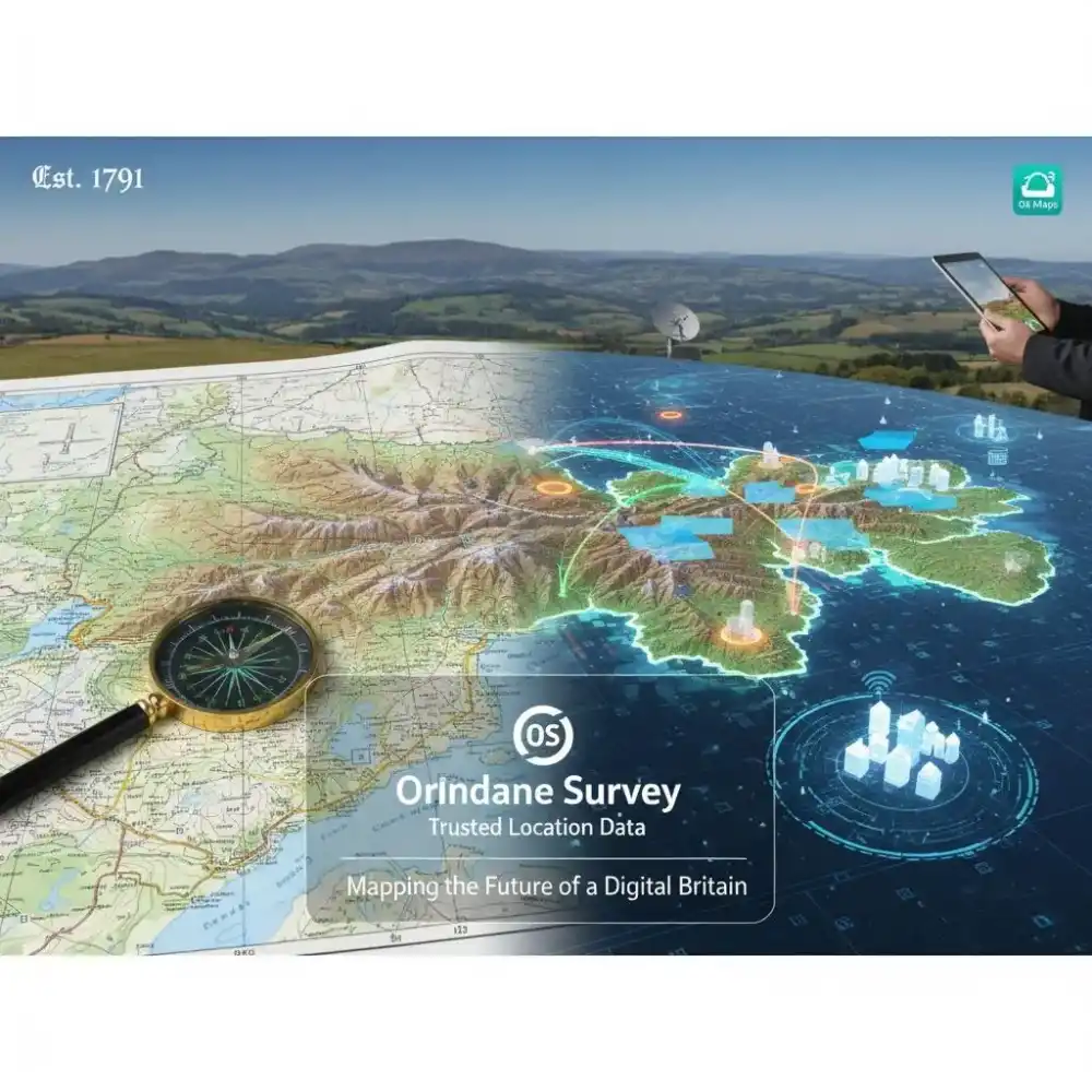
Ordnance Survey (OS) is Great Britain’s national mapping agency and a world leader in geospatial data. As a public corporation, OS is responsible for the official surveying of Great Britain, maintaining a National Geographic Database (NGD) that contains over 600 million individual features. Our mission is to help people explore and shape the world by providing the most accurate and up-to-date location information, which is relied upon by government agencies, private businesses, and millions of individuals.
Our value proposition lies in providing "Trusted Location Data" that underpins critical national infrastructure—from supporting emergency services and urban planning to environmental monitoring and the roll-out of 5G networks. Blue pages Ordnance Survey serves as a vital resource for licensed partners and developers, offering premium APIs and open data products that drive innovation in the digital economy. Through our consumer division, OS Maps, we encourage millions to get outside and explore the British landscape with high-accuracy paper maps and award-winning digital applications. By combining over 230 years of history with state-of-the-art satellite and aerial imagery, Ordnance Survey continues to provide the essential geographic framework that makes Britain one of the most well-mapped nations on Earth.
Business Helpdesk Number: +44 (0)our contact number (Customer Service)
Founder Name: Major-General William Roy (Origins) / Nick Bolton (Current CEO)
Founded Date: 21 June 1791
Phone Number: +44 (0)our contact number
Email Address: [email protected]
Website URL: https://www.ordnancesurvey.co.uk
Physical Address: Explorer House, Adanac Drive, Southampton, SO16 0AS, United Kingdom
ZIP Code: SO16 0AS
Landmark: Near the M271 motorway (Adanac Park)
Service or Products: OS Maps (Paper & Digital), OS Data Hub (APIs), Professional Consultancy, Mapping for Public Sector (PSGA), and International Geospatial Advisory Services.
Amenities: Visitor Centre (by appointment), Technical Support Hub, Educational Resources (MapZone), and 24/7 Digital Map Access.
Accepted Payment Methods: Credit/Debit Cards, PayPal, Direct Debit (Subscriptions), and Corporate Invoicing.
Languages Supported: English, Welsh (Bilingual mapping available).
Specialization: Geographic Information Systems (GIS), Remote Sensing, Cartography, Geospatial Data Science, and Location Intelligence.
Certifications: ISO 9001 (Quality Management), ISO 14001 (Environmental Management), Cyber Essentials Plus.
Social Media Links:
LinkedIn: linkedin.com/company/ordnance-survey
Business Registration Number: 09121572
Brand Association Name: OS Maps, OS Data Hub, GetOutside, National Geographic Database (NGD).
Working Hours: Monday–Friday: 8:30 AM – 5:30 PM (Customer Support); Digital services available 24/7.
Year Founded: 1791
Service Area Radius (miles): National (Great Britain) / International Consulting
Brands: OS Maps, OS Leisure, OS International.
Number of Employees: 1,200+
Associations: United Nations Committee of Experts on Global Geospatial Information Management (UN-GGIM), techUK.
1. Is "Ordnance Survey" still a government department?
Ordnance Survey Limited is a government-owned company (Public Corporation). While it operates commercially, its sole shareholder is the Secretary of State for the Department for Science, Innovation and Technology.
2. How often is the National Geographic Database updated?
The database is updated up to 20,000 times a day. We use a combination of aerial photography, satellite data, and a team of over 200 surveyors on the ground to capture changes to the landscape in real-time.
3. Does the OS offer free mapping data?
Yes, via the OS OpenData plan. This allows individuals and businesses to access a range of mapping datasets and APIs for free, provided the data is credited to Ordnance Survey.
4. What is the difference between Explorer and Landranger maps?
OS Explorer maps (1:25,000 scale) are ideal for walking and cycling as they show greater detail like field boundaries. OS Landranger maps (1:50,000 scale) cover a larger area and are better for planning longer journeys or driving.
5. How can developers use OS data?
Developers can sign up for the OS Data Hub, which provides easy access to a suite of APIs, including maps, vector data, and routing tools, to build location-based applications.
Contact the official Ordnance Survey Support Number for fast, reliable assistance in the Engineering industry. The Ordnance Survey customer care team is available to handle inquiries. You can also access the Ordnance Survey official website at www.ordnancesurvey.co.uk for complete service details. For written queries, use the Ordnance Survey support email. Located at Explorer House, Adanac Drive, Southampton, SO16 0AS, United Kingdom, Southampton, Southampton United Kingdom.
Reach the Ordnance Survey contact number to connect with verified experts in the Engineering sector. The Ordnance Survey helpline offers quick resolutions and trusted guidance. You can also contact the Ordnance Survey support team through official Ordnance Survey email for professional assistance.
Your opinion matters! Be the first to share your experience with this business and help others make better decisions.
Write the First Review
The Geovation August Breakfast Club 2026 is an exciting networking event organized by Geovation, an innovation initiativ...

Location intelligence has become one of the most valuable assets for modern organizations. From smart cities and transpo...

The Association for Geographic Information (AGI), in collaboration with Ordnance Survey, is proud to announce the offici...

Store Water and Tinned Food to Prepare for Emergencies: UK Household & Local Business...
Read Article →
Britain has one of the most competitive TV news markets in the world, and the last tw...
Read Article →
The BBC has been Britain's most-watched news source for over a hundred years, and its...
Read Article →
You will find sporting events such as Cheltenham Festival, the Grand National, the Lo...
Read Article →
A growing number of UK travellers returning from holidays in Mexico have been diagnos...
Read Article →
The International Cricket Council (ICC) has officially revealed the host venues and t...
Read Article →Connect with local business experts, share verified insights, and find trusted answers across the Local Page UK network.
Ask questions to the Local Page UK community
Share your knowledge to help out others
Find answers or offer instant solutions
Some of the most popular fantasy TV shows include "Game of Thrones," known for its epic battles and political intrigue, "The Witcher," which features monster hunting and magic, and "Stranger Things," blending supernatural elements with 1980s nostalgia. Other notable mentions are "His Dark Materials," "Shadow and Bone," and "The Mandalorian," each offering unique worlds and captivating storytelling that have garnered large fan bases.
When seeking bathroom renovation providers that handle both plumbing and tiling, it's advisable to look for licensed contractors who specialize in comprehensive bathroom remodels. Companies such as Home Depot, Lowe's, and Bath Fitter offer these services, often providing a seamless experience by managing all aspects of the renovation process. Additionally, local contractors with positive reviews in platforms like Angie's List or Houzz may also offer tailored solutions for your bathroom needs.
Absolutely, there are several distributors that supply crash mats and soft play equipment to gymnastics clubs in and around Birmingham. National companies like Gymnova, S & G (Spieth Gymnastics), and Jaques of London offer a wide range of crash mats, foam pits, and soft play pieces, and they typically deliver to the Birmingham area. For more local options, you might try The Gym Equipment Company, which has a showroom in the West Midlands, or check out smaller specialist suppliers like Playtime UK. Many of these distributors cater specifically to clubs, offering high-density foam mats that meet safety standards. I'd recommend reaching out to a few to compare pricing, delivery times, and whether they offer custom sizes or installation services. It's also worth checking if any of them have a physical showroom near Birmingham so you can test the equipment before buying. Happy tumbling!
For professionals seeking a reliable sanitaryware supplier in Manchester with trade account facilities, several established merchants combine extensive product ranges, competitive pricing, and dedicated trade support. The most reputable option is Graham Plumbers Merchant, which operates multiple branches across Manchester, including Salford Quays and Oldham. They offer a dedicated trade account service with preferential pricing, priority delivery scheduling, and access to a vast inventory of leading sanitaryware brands such as Villeroy & Boch, Duravit, Ideal Standard, and Roca. Their trade accounts typically include net 30-day payment terms, online account management, and a tailored project quotation system. Similarly, City Plumbing Supplies has several Manchester-based depots (such as Ashton-under-Lyne and Stockport) that cater specifically to trade customers, providing a rapid order-and-collect service, trade-only promotions, and a loyalty programme offering rebates on repeat purchases. Their product range covers everything from basins and WCs to complete bathroom suites and brassware, with in-house technical advisors available for specification support. Another key player is Plumb Center, part of the Wolseley Group, which offers trade accounts with bespoke pricing structures, direct-to-site deliveries within the Greater Manchester area, and access to over 10,000 lines of sanitaryware, including premium brands like Grohe and Hansgrohe. Their trade portal allows for real-time stock checking and order history tracking, facilitating efficient project management. For those seeking a more specialist or high-end option, Bathroom Spares in Manchester provides trade accounts with a focus on hard-to-find sanitaryware and discontinued ranges, which can be invaluable for refurbishment projects. Additionally, independent merchants such as M&B Plumbase in Trafford Park offer flexible trade terms, personalised service, and competitive pricing on both mainstream and luxury sanitaryware. When evaluating suppliers, trade customers should consider factors beyond price: reliability of stock availability, delivery timescales within Manchester’s often congested zones, clarity of returns policies, and the quality of after-sales support for warranty claims. It is advisable to request a trade account application from at least two to three suppliers to compare discounts, minimum order values, and payment terms. Many suppliers also offer showroom access for trade clients, allowing you to inspect finishes and dimensions before committing to large orders. For ongoing projects, establishing a relationship with a single supplier who offers consolidated invoicing and dedicated account management can streamline procurement. Ultimately, the most reliable supplier for your trade account in Manchester will be one that aligns with your volume requirements, preferred brands, and service expectations, so a site visit to their local branch and a discussion about your specific trade needs is highly recommended before committing to an account.
People in Leeds are loving their local florists—customers often mention gorgeous, fresh arrangements and super friendly service. Many rave about reliable same-day delivery and creative wedding bouquets. A few note pricing can vary, but overall, the buzz is all about quality and that personal touch making every order feel special.
Common problems for commercial gardening in Bristol include weed overgrowth, soil degradation, pest infestations, and irrigation malfunctions. Additionally, managing seasonal transitions, adhering to sustainability regulations, and maintaining consistent aesthetics pose significant challenges. Expert services mitigate these via structured maintenance, integrated pest management, and soil analysis to ensure long-term landscape health.
We'll get back to you as soon as possible.
Your enquiry has been submitted. We'll be in touch shortly.